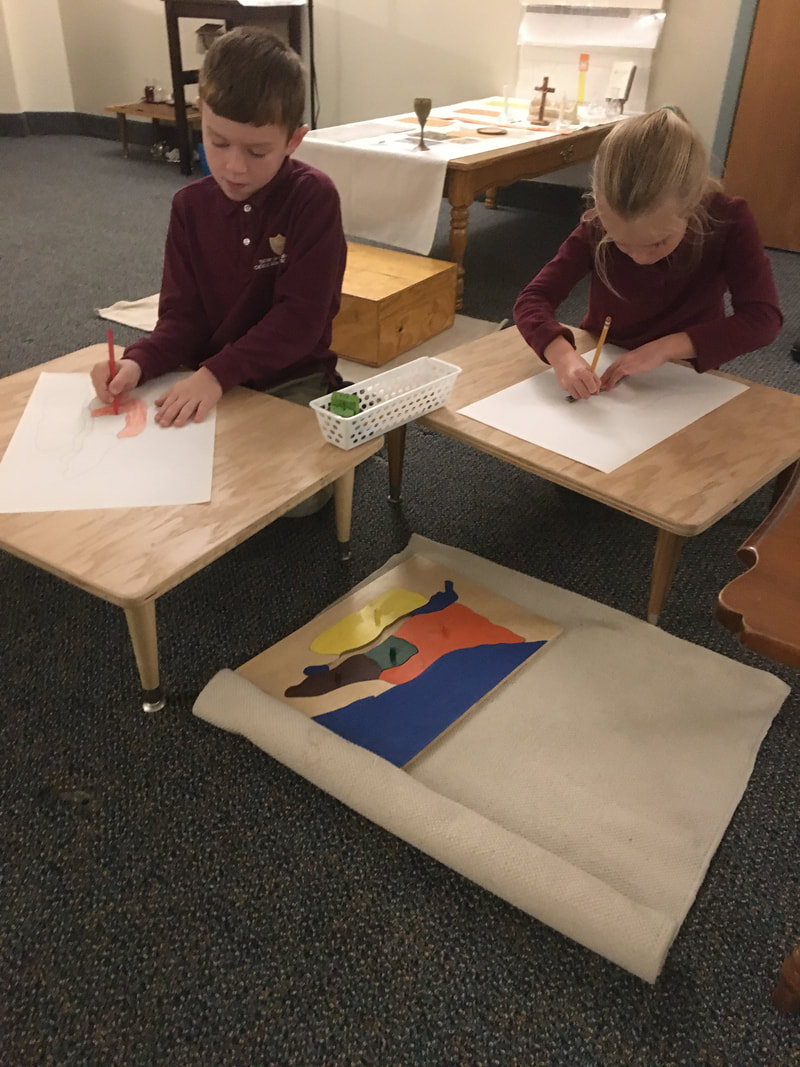
While the children begin their explorations of the Land of Israel, that tiny country where the Son of God chose to become man and live on the earth in the midst of humanity, around the age of three in the Atrium, there are many ways to expand their explorations over the following years. Having been introduced to the three principle cities in Jesus' life at the age of three (Nazareth, Bethlehem, and Jerusalem), and the regions and waterways at the age of four or five, the elementary children are excited to learn about many more cities which are referenced in the Gospels. After tracing the puzzle map of the Land of Israel and using watercolor pencils to finish their map, the pin map of Israel is introduced. The children use atlases to research the city flags and place them on the map. After checking their work with the control, they take out all of the pins they have placed and try to replace them by memory, only adding three more cities onto the map if they have been able to remember accurately all those they have previously placed. Once all cities are known well enough to place them without the atlas or control, the children begin to label the cities on their watercolor map of Israel. This year there have been many children showing interest in the map of the Land of Israel and many who are returning to this work and extending it in various ways. Repetition with variety is a need of the elementary child and the work related to the maps has, this year, proven that need to be alive and active in the Level II Atrium!
 Tracing the Land of Israel. 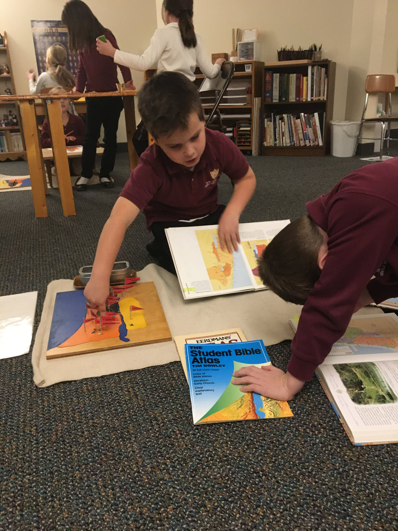 Using atlases to label the Pin Map. 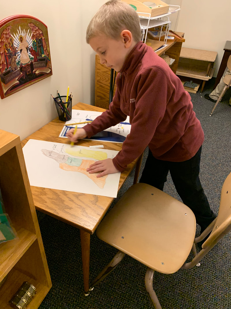 Returning to the Land of Israel work. | 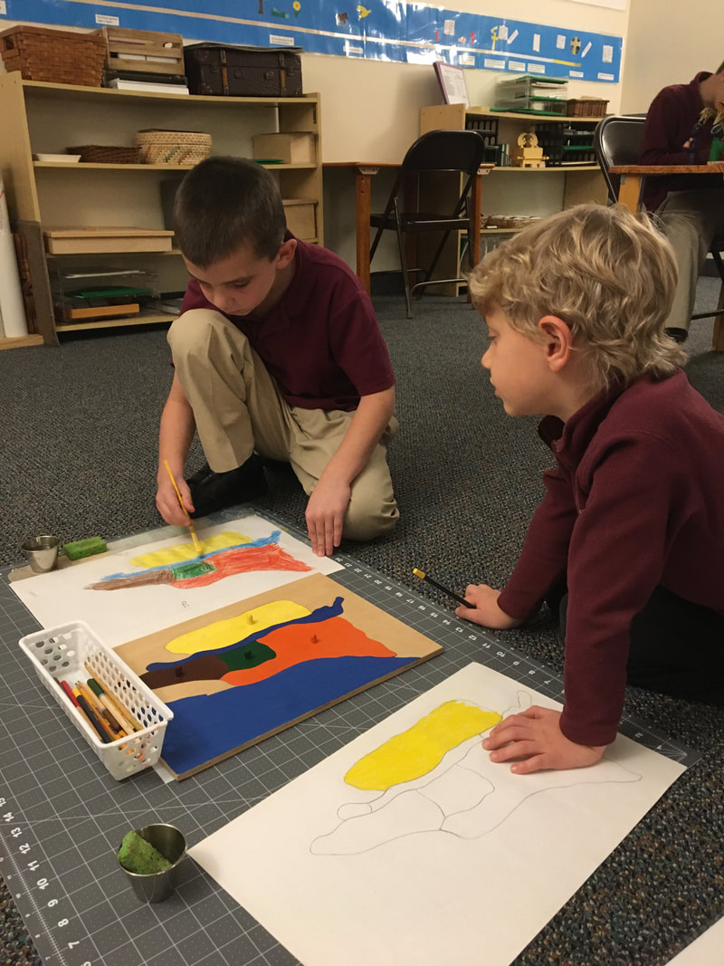 Using watercolor pencils. 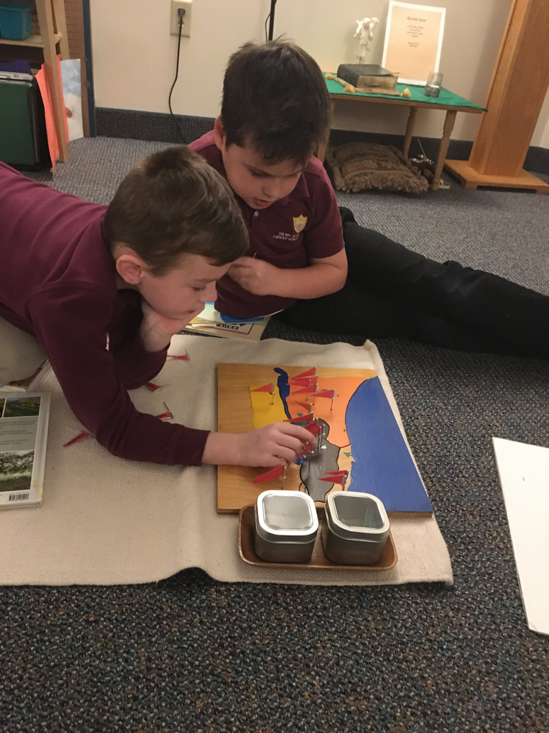 Checking their memory. 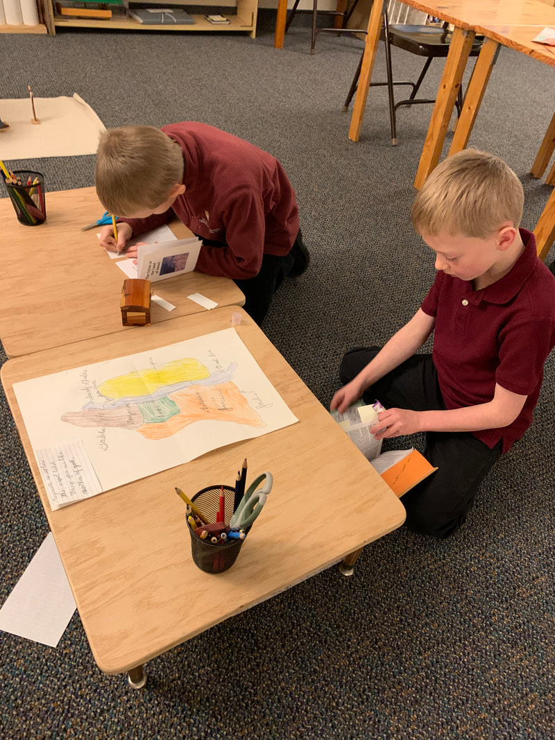 Researching the principle cities. | 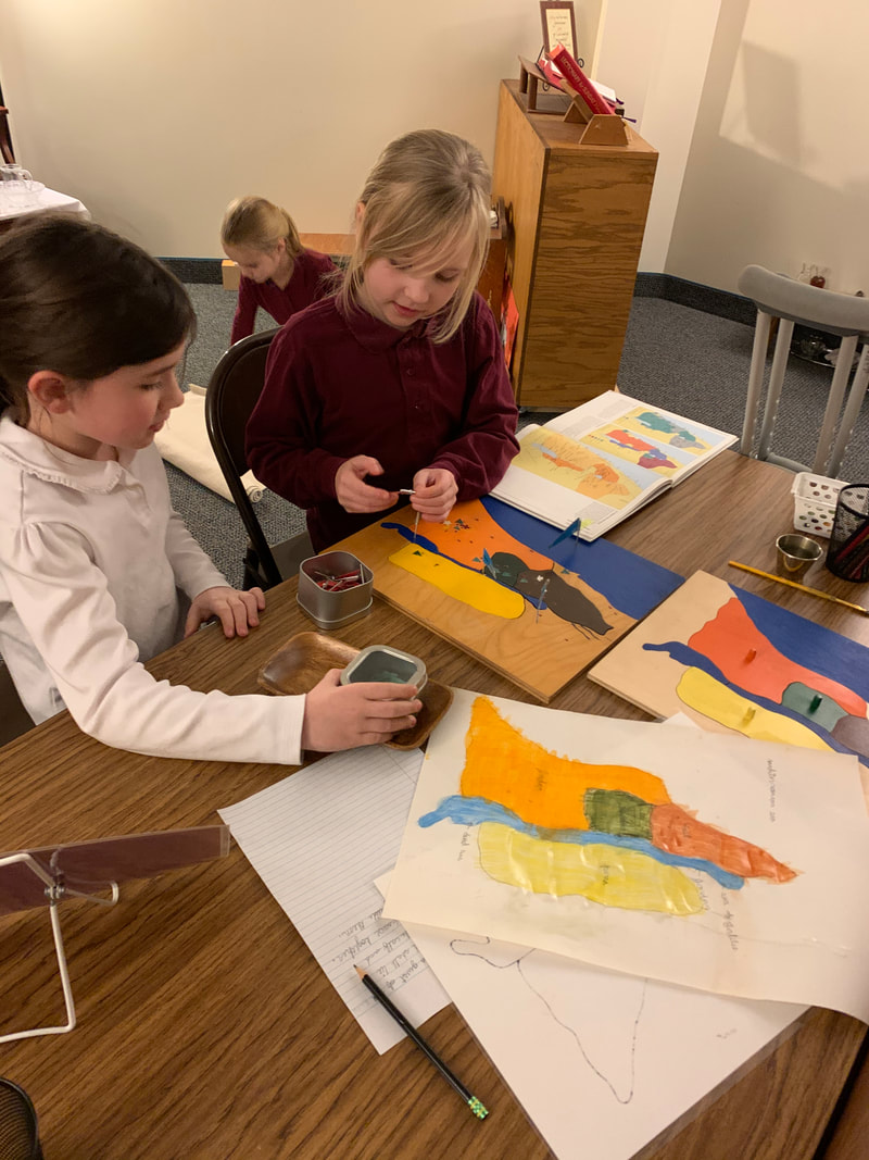 Presenting the Pin Maps to a friend. 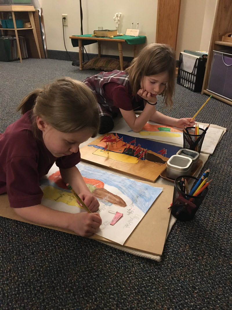 Labeling their personal maps. 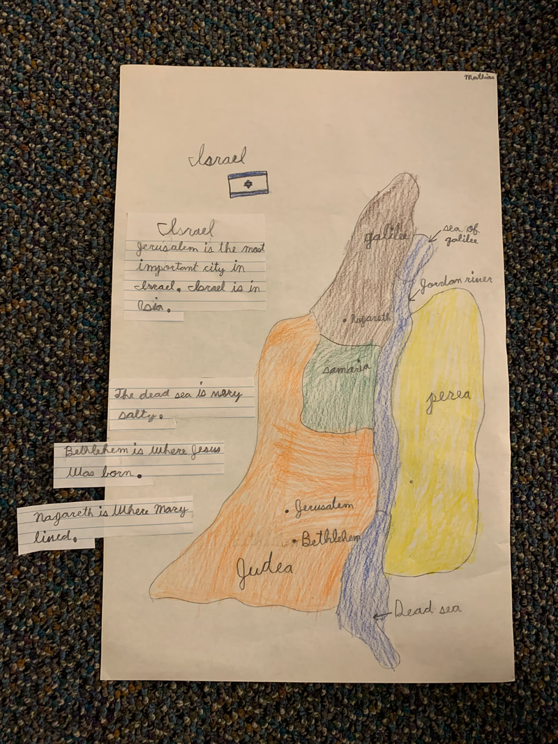 The Land of Israel map, extended. |
 RSS Feed
