  |   |
 |  |
|
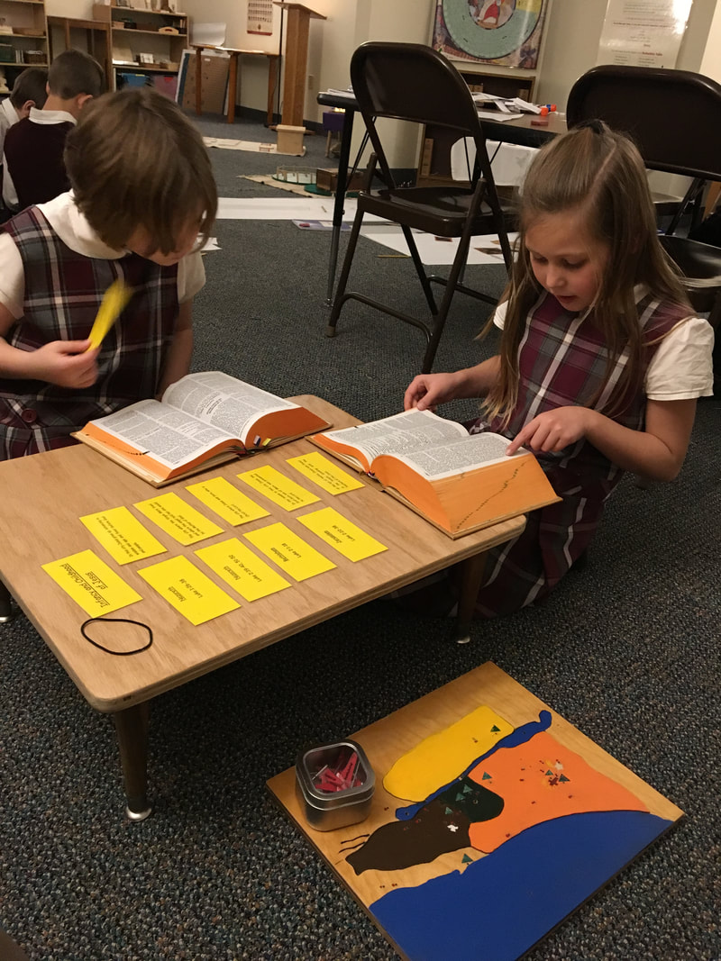
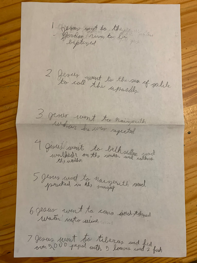
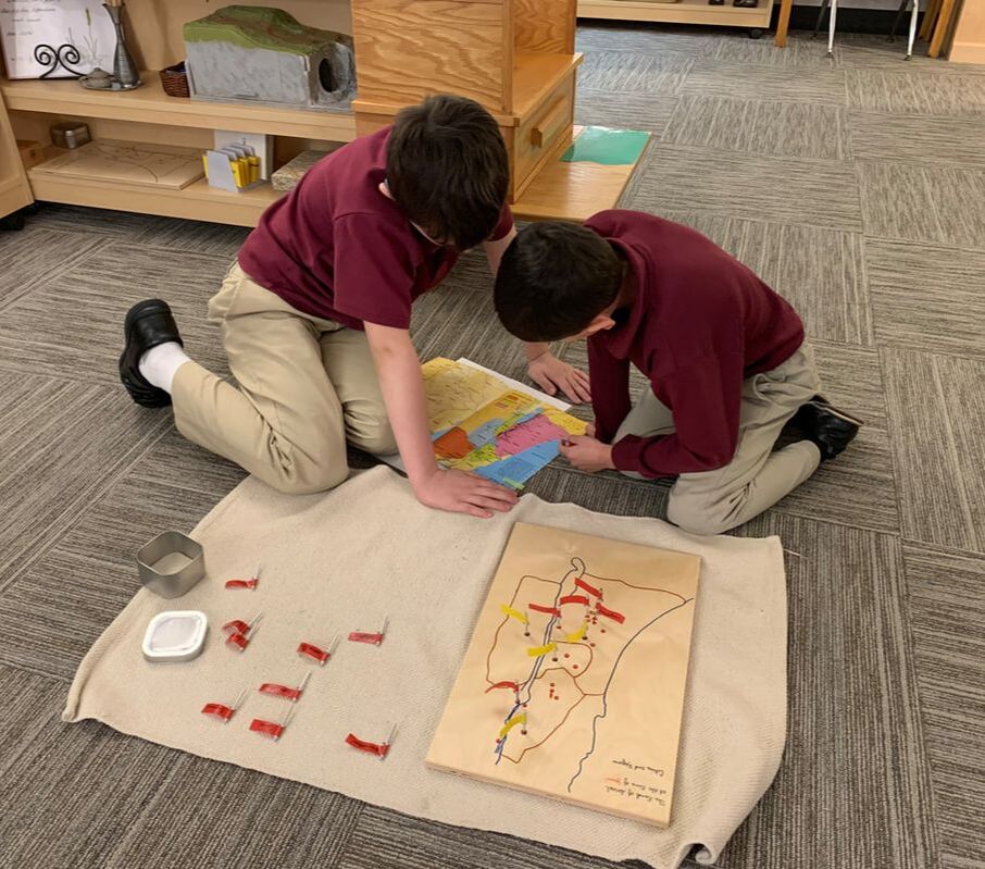
While the maps help to locate the places in which Jesus lived and show their relation to each other, they do not focus on what happened in each. To help with this aspect of geography there are some extensions offered to the older L2 and the L3 children including booklets, charts, and packets, all of which invite the children back into their Bibles as they look up citations related to the geographical features of Israel.
The L2 children continue to enjoy making maps of the Land of Israel. However, there is even more to discover by looking at additional cities, mountains, and deserts!
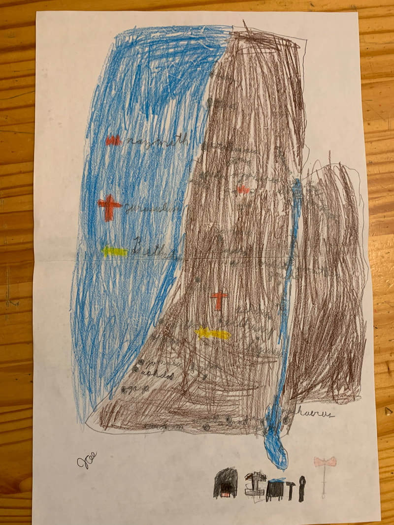
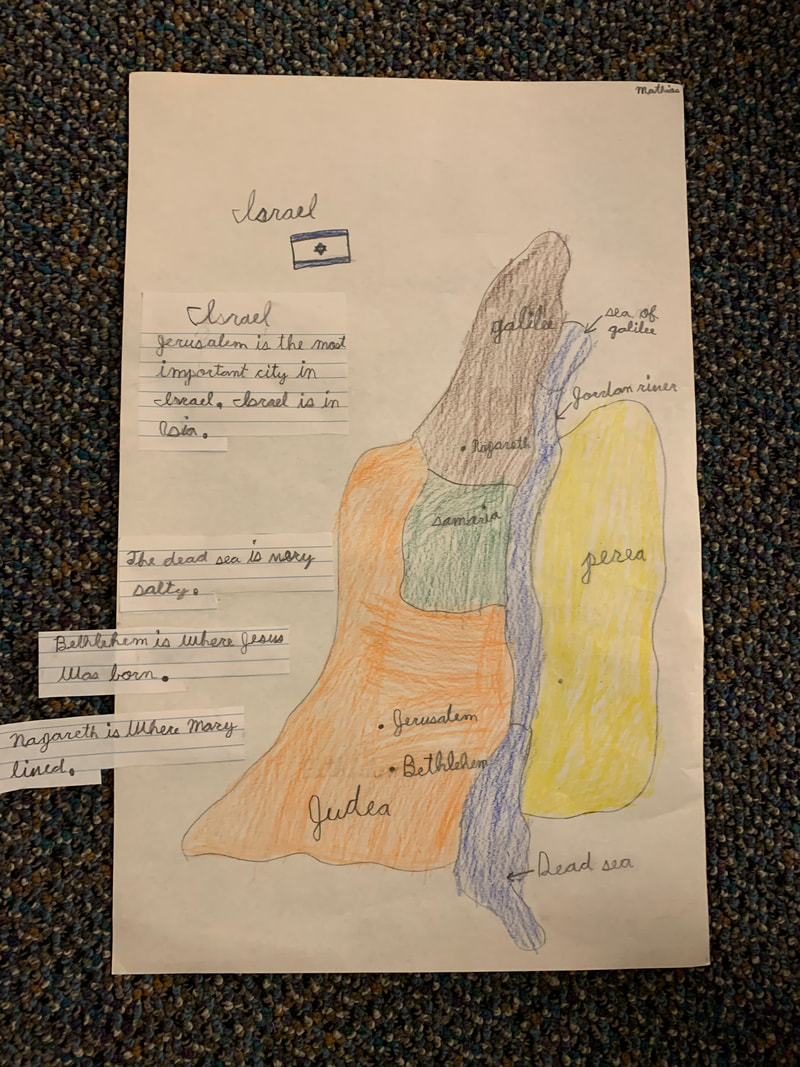
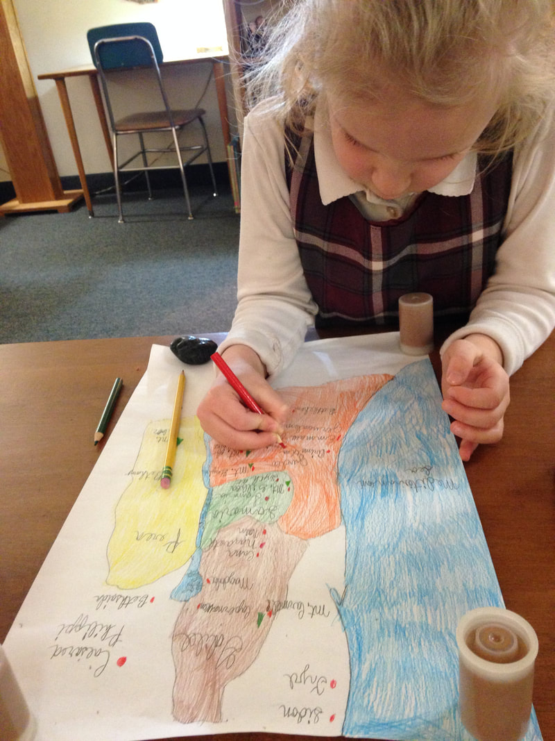
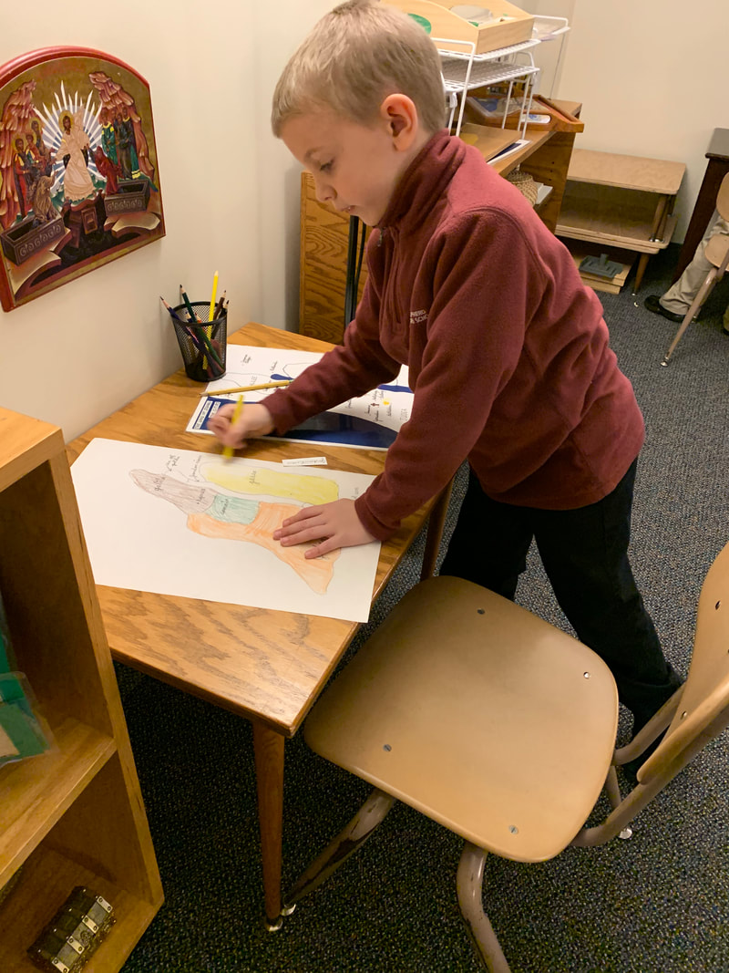
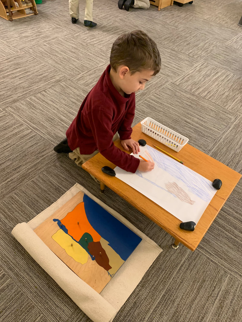
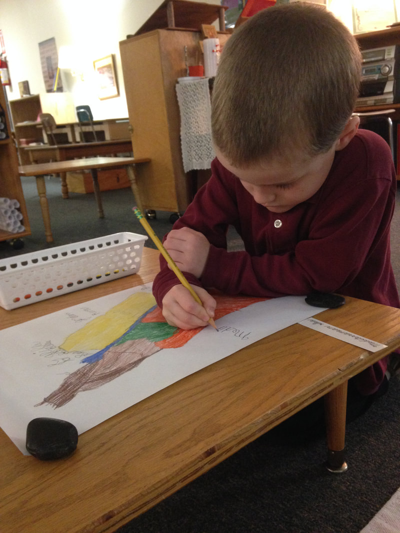
After spending a year with the globe and raised surface map, experiencing the terrain and hearing the language for these most important geographical elements, the 4yo children in the Atrium are introduced to the regions of Israel through a Puzzle Map. Nazareth is in the region of Galilee where Jesus spent most of his life including most of his ministry. Judea encompasses both Bethlehem and Jerusalem, a place to which Jesus traveled frequently in his adult years in particular. In between these regions is Samaria, an area often avoided by the Jewish people but one that comes up repeatedly in Jesus' teaching. Finally, across the Jordan River is Perea, described in the Bible as "the wilderness." Jesus spent time in this region listening to and speaking with God in prayer. Once, when I was presenting the Regions Map to a 5yo, a nearby 4yo leaned over and very quietly and seriously proclaimed, "God really likes tiny things." He then went right back to his work as the 5yo and I continued repeating the names of the regions. The children enjoy making their own map of Israel, using the Regions Puzzle Map as their guide. Often the 5yos return to this work and enjoy utilizing their beginning writing skills by copying the names of the regions and waterways onto their map.
|
Carolyn Kohlhaas
CGS Catechist and Formation Leader (Levels I, II, and III) Categories
All
Archives
April 2024
|
 RSS Feed
